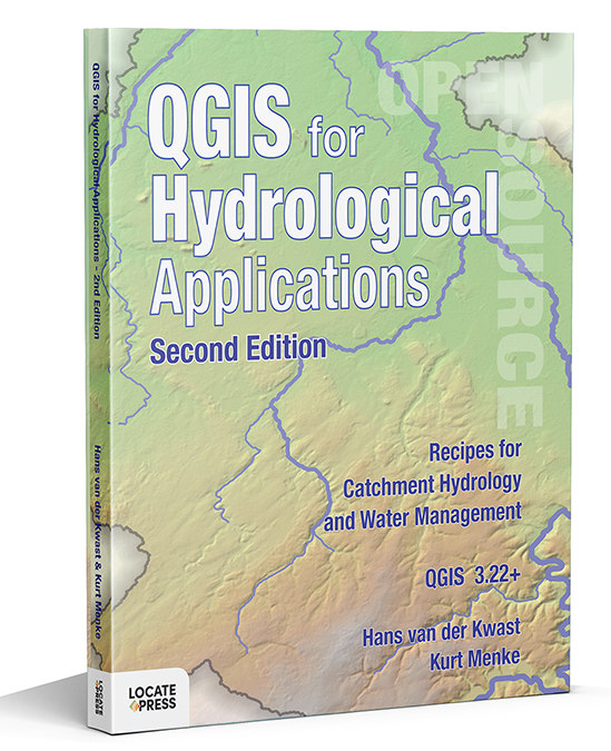
Description
Recipes for Catchment Hydrology and Water Management
by Hans van der Kwast and Kurt Menke
Now updated – learn even more GIS skills for catchment hydrology and water management with QGIS!
This second edition workbook introduces hydrological topics to professionals in the water sector using state of the art functionality in QGIS. The book is also useful as a beginner’s course in GIS concepts, using in a problem-based learning approach.
Designed to take advantage of the latest QGIS features, this book will guide you in improving your maps and analysis.
The second edition adds the following new features:
- Covers QGIS 3.22 and higher, with 10% more pages
- Improved and shorter workflows
- Raster Attribute Tables are introduced
- PCRaster Tools plugin for stream and catchment delineation
- Flow direction styling with arrows and 3D visualization
- Create pie charts based on layer colors with the Data Plotly plugin
- Using and creating legend patch shapes
- Easier elevation gradient legends using new functionality
- Use of dynamic text in the Print Layout
With this book you’ll learn to:
- Georeference scanned maps
- Digitize vectors
- Import tabular data
- Join attribute tables
- Interpolate points to a raster
- Apply map algebra
- Delineate streams and catchments
- Find and use Open Data
- Calculate the percentage of land cover per subcatchment
- Design beautiful catchment maps
In addition to the core functionality of QGIS, you’ll be introduced to many useful plugins.
The book is a complete resource and includes:
- Lab exercises
- Discussion questions
- Links to videos with theory and explanations of the exercises
By purchasing the book you support the attendance of students at FOSS4G and QGIS events.
Contents
          Foreword
        About This Book
        1 Preparing Data from Hard Copy Maps
          1.1 Introduction
          1.2 Choosing the Projection
          1.3 Importing the Scanned Map into the Georeferencer
          1.4 Setting the Transformation Parameters
          1.5 Adding Ground Control Points (GCPs)
          1.6 Reduce Errors and Perform the Transformation
          1.7 Verify the Georeferenced Map
          1.8 Digitizing Vector Layers from a Georeferenced Backdrop
          1.9 Styling the Mountains, Rivers, and Lakes
        2 Importing Tabular Data into QGIS
          2.1 Introduction
          2.2 Check the Spreadsheets
          2.3 Import Spreadsheets
          2.4 Convert Spreadsheet to Vector Layer
          2.5 Join Attribute Tables
          2.6 Edit the Joined Attribute Table
          2.7 Interpolate Point Features to Raster
          2.8 Styling the Results
        3 Spatial Analysis with Map Algebra
          3.1 Introduction
          3.2 Preparation
          3.3 Condition 1: Wells within 150 Meters of Houses or Roads
          3.4 Condition 2: No Industry, Mine, or Landfill within 300 m from Wells
          3.5 Condition 3: Wells Less than 40 Meters Deep
          3.6 Combine the Three Conditions and Report the Results
        4 Stream and Catchment Delineation
          4.1 Introduction
          4.2 Download DEM Tiles
          4.3 Mosaic DEM Tiles
          4.4 Reproject DEM
          4.5 Create a Subset of the DEM
          4.6 Fill Sinks and Calculate Flow Direction
          4.7 Delineate Streams
          4.8 Define Outflow Point
          4.9 Delineate the Catchment
          4.10 Clipping Layers to the Catchment Boundary
          4.11 Styling the Resulting Catchment Area
          4.12 Storing the Data in a GeoPackage
        5 Adding Open Data to Your Catchment
          5.1 Introduction
          5.2 Adding Data from OGC Web Map Services
          5.3 Adding Vector Data from OpenStreetMap
        6 Calculating Percentage of Land Cover per Subcatchment
          6.1 Introduction
          6.2 Preparing the Subcatchment Layer
          6.3 Preparing the Land Cover Data
          6.4 Intersect the Land Cover Layer with the Subcatchment Layer
          6.5 Calculate Land Cover Class Area per Subcatchment
          6.6 Create Pie Charts Using the Data Plotly Plugin
        7 Map Design
          7.1 Introduction
          7.2 Map Design Considerations - Adding More Data
          7.3 Styling and Labeling Cities and Towns
          7.4 Creating a Catchment Boundary Layer
          7.5 Setting up the Print Layout
          7.6 Adding the Map
          7.7 Adding a Title
          7.8 Adding a Legend
          7.9 Adding a Scale Bar
          7.10 Adding a North Arrow
          7.11 Adding Descriptive Text
          7.12 Using Variables for Adding Your Name as Author
          7.13 Setting Up a Map Theme
          7.14 Setting up the Layers for the Locator Map
          7.15 Final Adjustments
          7.16 Exporting the Map
        8 Conclusion
          8.1 Things to Do
        Index
Availability
- Ebook version: Now available – May 5, 2022
- Print version: Available June 2022
- The first edition book is also still available here.
To keep up to date on this and our other books, subscribe to our low-volume newsletter.


 Â


