Description
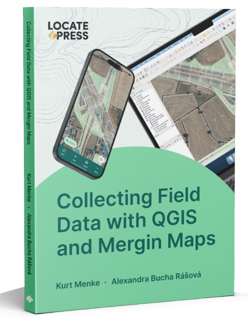
Collecting Field Data with QGIS and Mergin Maps (Print)
by Kurt Menke & Alexandra Bucha Rasova
What is Mergin Maps?
This concise 137-page book covers everything you need to know to work with Mergin Maps. If you are new to Mergin Maps and QGIS, the book begins with a gentle introduction. This includes all the basic steps of setting up a project in QGIS, configuring survey layers, conducting your first field survey, and making your first map.
If you are familiar with Mergin Maps, the book includes information on more advanced workflows. There is a detailed chapter on advanced project configuration and information on project management and collaboration principles. With this book, you can unleash the full power of the Mergin Maps platform.
Table of Contents
Introduction
Learn to install QGIS and create a Mergin Maps account. Then install the Mergin Maps mobile app and the Mergin Maps QGIS plugin.
Setting up a Project in QGIS
Learn about best practices and configuration options for your first project. Create a survey layer, add basemaps, and explore your project in the Mergin Maps mobile app.
Configure Survey Layers
How to configure QGIS field widgets for numerous applications. Use special Mergin Maps variables and the Drag and Drop Designer to create an intuitive and more intelligent field data collection form.
Conducting a Field Survey
Take your project outside on your mobile device and collect your first data. This includes learning about position tracking, navigation options, synchronizing the data back to QGIS, and using the Mergin Maps Processing Algorithms.
Advanced Project Configuration
Do you need more customized projects? Learn advanced options for form configuration, advanced photo settings, and how to work with non-spatial tables to create cascading forms.
Project Management and Collaboration
Learn to manage a project for any size organization. Discover how to add users, set permissions, and manage project versions.
Creating a Map
Want to produce a map of your results? Learn about layer styling options and how to set up a print composition in QGIS.
Sign up
To keep up to date on this and our other books, and receive exclusive discounts, subscribe to our low-volume newsletter.


You must be logged in to post a comment.