Description
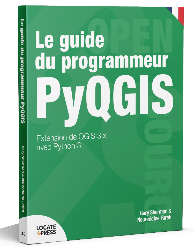
Extension de QGIS 3.x avec Python 3
par Gary Sherman et Noureddine Farah
This is a French translation – see here for English version
Bienvenue dans le monde de PyQGIS, le mixage de QGIS et de Python pour étendre et améliorer votre boîte à outils SIG source libre. Avec PyQGIS, vous pouvez éditer des scripts et des plugins pour mettre en œuvre de nouvelles fonctionnalités et effectuer des tâches automatisées.
Ce livre est mis à jour pour fonctionner avec la nouvelle génération de QGIS – version 3.x. Après une brève introduction à Python 3, vous apprendrez à comprendre l’interface du programmeur d’application (API) de QGIS, à écrire des scripts et à construire un plugin.
Ce livre est conçu pour vous permettre de travailler sur les exemples au fur et à mesure. À la fin de chaque chapitre, vous trouverez une série d’exercices que vous pouvez faire pour améliorer votre expérience d’apprentissage.
Le PyQGIS Programmer’s Guide est compatible avec la version 3.0 de l’API publiée avec QGIS 3.x.
Contenu
-
- Préface
- Introduction
- Les bases de Python 3
- Configuration des outils de développement
- L’écosystème QGIS/Python
- Explorer l’API QGIS
- Utiliser la console
- Exécution de scripts
- Conseils et techniques
- Extension de l’API
- Développement des plugins
- Création d’un processus de développement
- Conversion du code à la version QGIS 3
- Rédaction d’une application autonome
- Réponses aux exercices
- Annexe A : Liste de code source
If you would like to receive updates about this title, please subscribe.
Authors
Gary Sherman
Gary Sherman has a wide and varied background, including that of geologist, mining engineer, software engineer, publisher, and author. He has authored both technical books and articles, as well as fiction.
In 2002, he founded the popular open source QGIS project and has published several books on the topic.
For eight years, Gary was at the helm of Locate Press, publisher of books on open source software.
Gary has published a number of novels as G.E. Sherman—see Alaskana.co for a list of books and descriptions.
When writing fiction, he draws on the depth of his background, providing vivid descriptions of life on the last frontier, wildlife encounters, and survival. Further, his experience as an outdoor enthusiast provides inspiration in the stories he tells.
Gary Sherman resides in Alaska and regularly watches moose from his living room window.
Noureddine Farah
Noureddine is our first foreign language translator! He was critical in managing the development of Open Google Earth Enterprise solution (Open GEE) and related suite (GEEP) to enable organizations authoring and publishing Enterprise geospatial data.
His other previous experience was with Pitney Bowes (MapInfo) as Principal Software Engineer developing and releasing MapInfo Pro product and related suite.
Before Pitney Bowes, he was the architect and lead engineer of multiple modules in several commercial GIS Software: InfoVista Planet, Vertical Mapper, Decibel Planner and Keigan Grid/MFWorks (now called Geomedia Grid). Certified in ArcObjects SDK (ESRI) and experienced with ESRI products suite.

